|
|
|
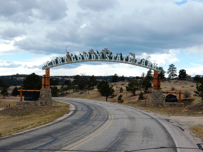
Mountain Biking In WYOMING The following are descriptions and photos of the trails Bruce has ridden in Wyoming. So far, he has only made one trip to Wyoming, and that was to Curt Gowdy State Park in November of 2014. Bruce and his riding friend from Denver, Diesel Ellert, spent the weekend up there. If you are ever mountain biking in the Denver area, head 2 hours up I-25 to Cheyenne and go west 16 miles on Happy Jack Rd. 16 miles to the park. The Trails are memorable!
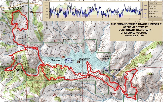
Curt Gowdy State Park Trail construction began in 2006. The system now includes over 30 miles of trails connecting Granite and Crystal Reservoirs and contains four free ride play areas, skills area, and a dedicated four mile equestrian loop. Trail difficulty is from easy to extremely difficult and winds through some incredible scenic vistas in the park. The International Mountain Bike Association awarded the Curt Gowdy trail system an Epic designation in 2009. This is currently the first and only Epic designation by IMBA in the state of Wyoming. An Epic designation means the trail system provides a quality ride and quality experience for the user. Bruce ran the GoPro for both days of riding, so most of the photos are video captures. He hopes to produce some video clips of the rides at some point in the future. Scroll down for a list of rides and summaries, and use the links in the in the summaries to go to detailed descriptions and photos for the specific trails and rides. The Grand Tour: Bruce rode "The Grand Tour" on November 1, 2014 with a group of regulars from Denver and Boulder. It's called The Grand Tour because it includes 12 of the 26 trails in the park, and the majority of the mileage. Stone Temple Circuit: Bruce rode the Stone Temple Circuit on November 2, 2014 with Diesel Ellert. This is a short 3.8 mile trail with only 641 feet of climbing, but offers up a lot of opportunities to demonstrate you skills riding rocks. Albert's Alley: November 2, 2014 (in development and will be uploaded later.) The Grand Tour picked up most of the trails in the park. This included:
Stone Temple
The statistics for the Grand Tour Trail ride are provided below along
with a map showing the track, profile and statistics. The track
and profile is for the counter-clockwise direction. Reverse it for a clockwise ride.
Right click on the GPX link above to download a GPX file for this ride. The GPX file may want to save as an XML file, so if it does, change the extension to gpx before you save it. The file is a high-resolution track with points are every 10' created on the Delorme PN-60W GPS. You can right-click on the image below and use the "Save Target As" option to down-load a 1MB 11x17" PDF version of the map that can be printed. You can also click on the image to open it in a new window and zoom up to 200% for a detailed view.
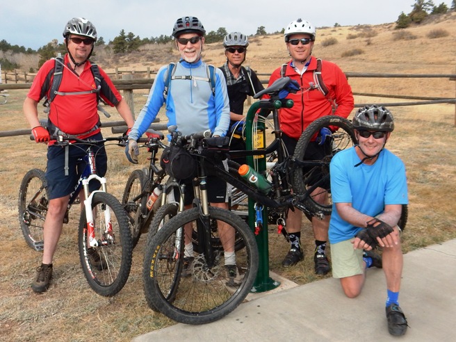
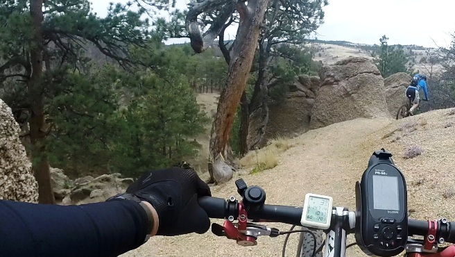
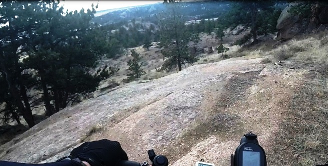
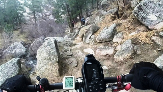
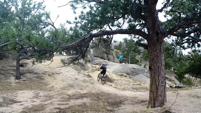
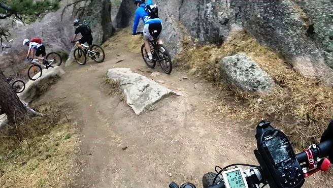
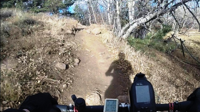
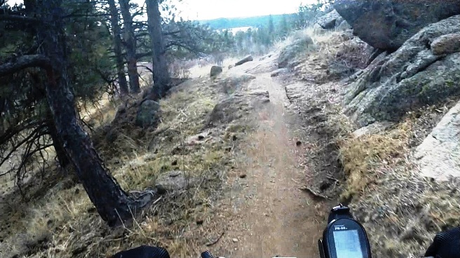
This is the kind of trail on which you will use all your gears. The grades vary from long and gradual to short and steep. There is a lot of granite rock on these trails, and some of the rocks are large. Most of the trails are rated intermediate to advanced, with a few rated expert. The photo below shows the group that rode the first day. Most came up from Denver or Boulder.
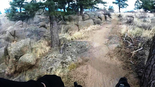
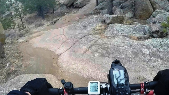
Rode lots of big rocks, and fortunately many were smooth.
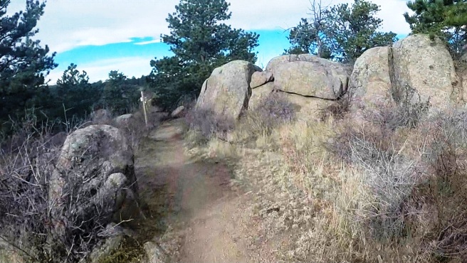
Not all the trails was rock. There were quite a few sections of dirt, but it seemed to go through rock.
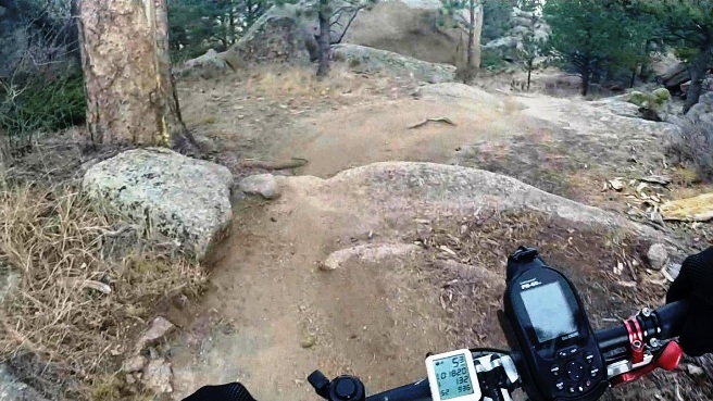
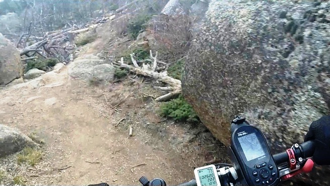
A bit of down-hill across a huge rocky section.
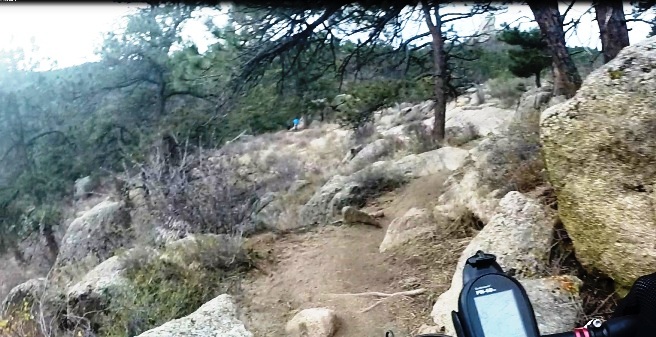
Not all sections were smooth. Some were a bit challanging.
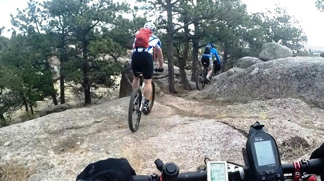
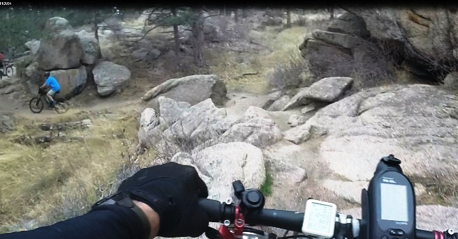
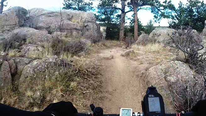
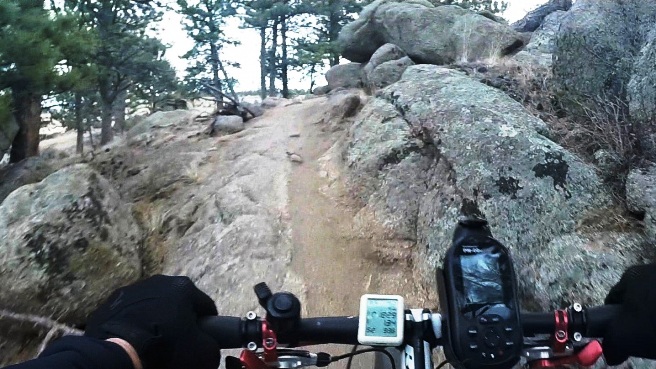
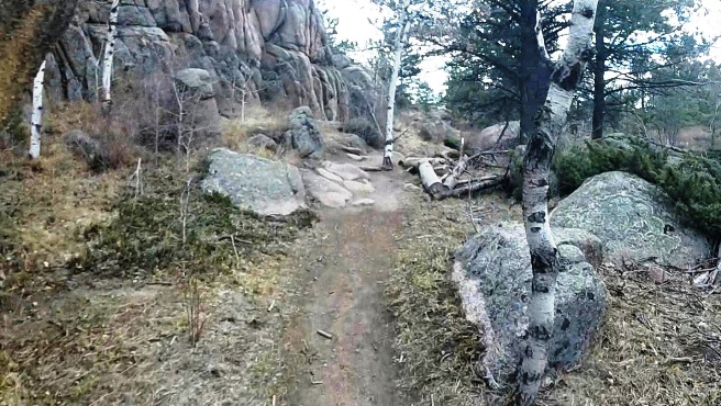
Another opportunity to demonstrate rock riding skills.
This time you got to show your skills riding rock up a climb.
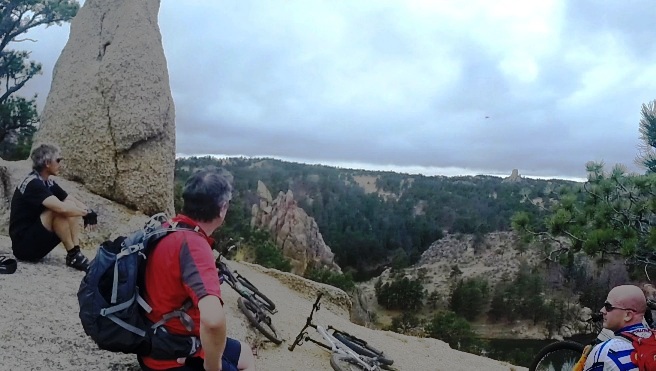
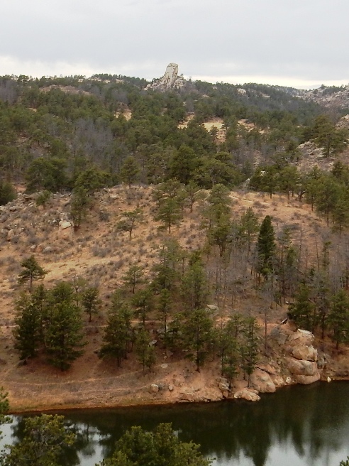
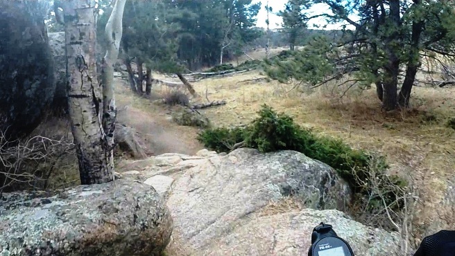
Partway through the ride the group stopped for a rest. The granite shaft in the distance is the core of an extinct volcano and is called the Stone Temple.
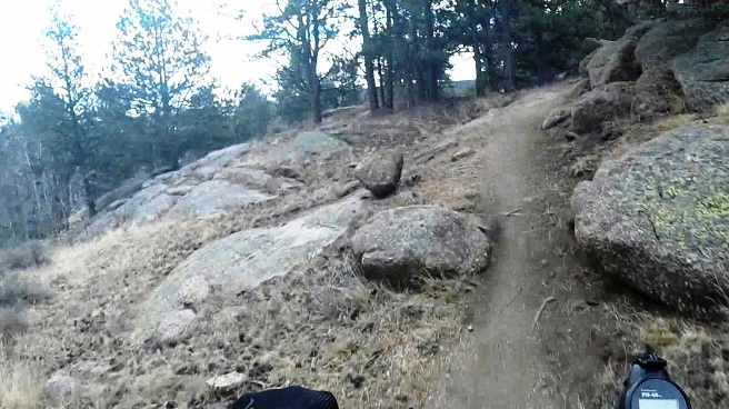
The trail leaving the rest area was quite tame.
Then there were sections like this.
Curt Gowdy was one of the most interesting trails Bruce had ever ridden, and he hopes to be able to ride it again some day.
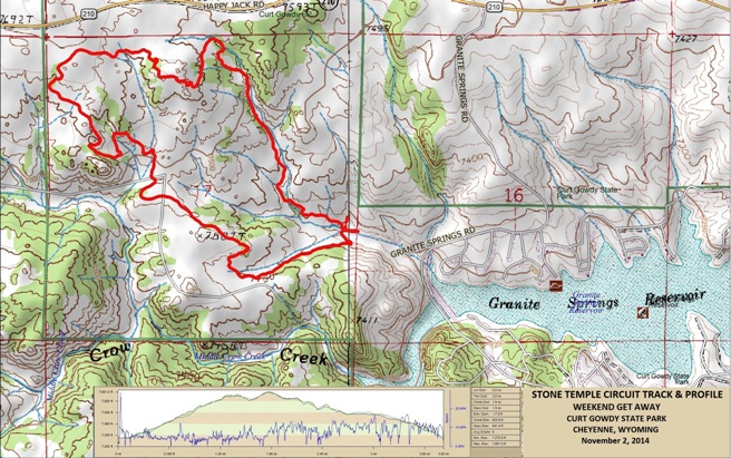
The statistics for the Stone Temple Circuit Trail ride are provided below along
with a map showing the track, profile and statistics. The track
and profile is for the counterclockwise direction. Reverse it for a
clockwise ride.
Right click on the GPX link above to download a GPX file for this ride. The GPX file may want to save as an XML file, so if it does, change the extension to gpx before you save it. The file is a high-resolution track with points are every 10' created on the Delorme PN-60W GPS. You can right-click on the image below and use the "Save Target As" option to down-load a 1MB 11x17" PDF version of the map that can be printed. You can also click on the image to open it in a new window and zoom up to 200% for a detailed view.
This is the kind of trail on which you will use all your gears. Some of the grades are not quite steep, and others go on for some distance, making it necessary to slow down to a sustainable climbing pace. The rocky terrain also requires the use of the lower gears to "power" your way over the rocks. The photo below shows the Stone Temple. This feature is the core of an extinct volcano and the trail circles it.
The first mile is a long climb. This would not have been too hard except the elevation was at nearly 8,000 ft.
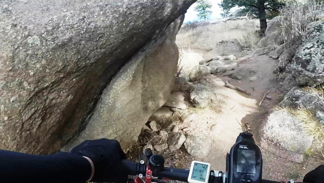
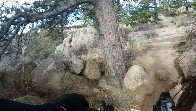
It didn't take long for the big rocks to appear. This section was tight.
More big rocks except this section was not so tight.
Here is an interesting climb. Nice how they left a boulder in the middle of the line.
More climbing, although a bit smoother.
There was no shortage of big rocks. Fortunately, most were off the trail.
Going down!
Going down again!.
Another rocky climb!
Another chance to show off your rock riding skills!
Going back up again. At least it is smooth.
Looks like the smooth section is about to end.
Holy Moley! More technical stuff to ride. Yes, there is a trail up ahead on the right of the downed trees.
Tight squeeze coming up.
Dropping off a big rock.
Why is there a ledge like that near the end of the ride?
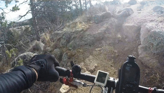
Introduction to the trail and ride including any other riders or group with you.
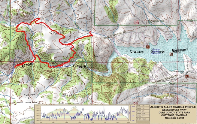
The statistics for the Albert's Alley Trail ride are provided below along
with a map showing the track, profile and statistics. The track
and profile is for the counterclockwise direction. Reverse it for a
clockwise ride.
Right click on the GPX link above to download a GPX file for this ride. The GPX file may want to save as an XML file, so if it does, change the extension to gpx before you save it. The file is a high-resolution track with points are every 10' created on the Delorme PN-60W GPS. You can right-click on the image below and use the "Save Target As" option to down-load a 1MB 11x17" PDF version of the map that can be printed. You can also click on the image to open it in a new window and zoom up to 200% for a detailed view.
This is the kind of trail on which you will use all your gears, and spend a lot of time in 1-1. The grades are not impossibly steep, but go on for some distance, making it necessary to slow down to a sustainable climbing pace. The photo below shows (description). (Place-holder for photo) Description of following photo. (Place-holder for photo) Wrap up
|
|
Version 0.1, March 1, 2019 |