|
|
|
Mountain Biking In North Carolina The following is descriptions and photos of the trails Bruce has ridden in North Carolina. So far, only DuPont State Recreational Forest has been ridden: once in 2015 and again in 2019. Scroll down for a complete list of rides and summaries, and use the links in the in the summaries to go to descriptions and photos for the specific trails and rides. Bruce has a mountain biking trip through the lower Appalachian Mountains planed for the near future. The trip will include IMBA EPIC trails in Tennessee, North Carolina, Georgia and Alabama, starting with the The Big South Fork IMBA EPIC trail system near Oneida, Tennessee. It will also include Tanasi, Bent Cr., and Du Pont in North Carolina, Bull Mt., GA and Oak Mt., Alabama. The "Future" placeholders are there to collect information on the future rides at Tanasi, Bent Cr. and Du Pont. Pat and Bruce are members of the Electrical Exam Committee of the National Council of Examiners for Engineers and Surveyors (NCEES) and visit the Greenville/Clemson area twice a year. At the end of their meetings, they usually hop across into North Carolina for a day of mountain biking. Du Pont SRF - 2015: Bruce and Pat's first ride at DuPont was on May 31st, 2015. They stayed at a local hotel and had dinner at the Jordan St. Cafe Saturday evening. The next morning, they rented bikes from Sycamore Cycles in the town of Pisgah Forest and headed too the Lake Imaging Trailhead. Du Pont SRF - 2019: Bruce and Pat's second ride at DuPont was on June 2nd, 2019. Bruce had hoped to do the ride again sooner, but his schedule at NASA did not allow a lot of free time. His work at NASA ended in 2018, and he was able to take time off to ride after the NCEES meeting. This time they rented a BnB outside Pisgah Forest. Tanasi: Another IMBA EPIC currently on Bruce's Bucket List. Bent Cr.: Another IMBA EPIC also on Bruce's Bucket List. Bruce and Pat had an NCEES meeting in Clemson the last week in May, and combined a little pleasure with their business. Since DuPont is an IMBA EPIC and not far from the Greenville-Spartanburg airport, is was only natural they stay over and ride it.
The statistics for the Du Pont State Recreational Forest ride are provided below
along with a map showing the track and profile and statistics. The
track and profile is for the counter-clockwise direction. Reverse it for a
clockwise ride.
Right click on the GPX link above to download a GPX file for this ride. The GPX file may want to save as an XML file, so if it does, change the extension to gpx before you save it. The file is a high-resolution track with points are every 10' created on the Delorme PN-60W GPS. You can right-click on the image below and use the "Save Target As" option to down-load a 1MB 11x17" PDF version of the map that can be printed. You can also click on the image to open it in a new window and zoom up to 200% for a detailed view.
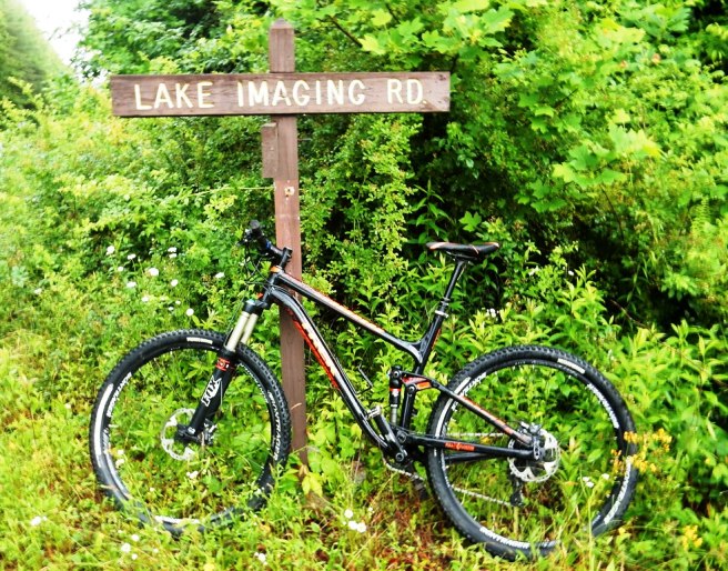
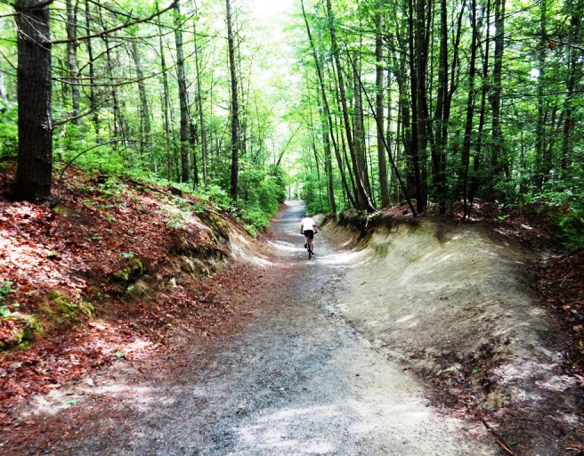
This is the kind of trail on which you will use all your gears, and spend a bit of time in your granny gear. The grades are not impossibly steep, but a few go on for some distance, making it necessary to slow down to a sustainable climbing pace. The TREK Fuel EX rented for the day at the Lake Imaging TH. Nice bike, but Bruce didn't really care for the 1x11 drive train and wanted more gears.
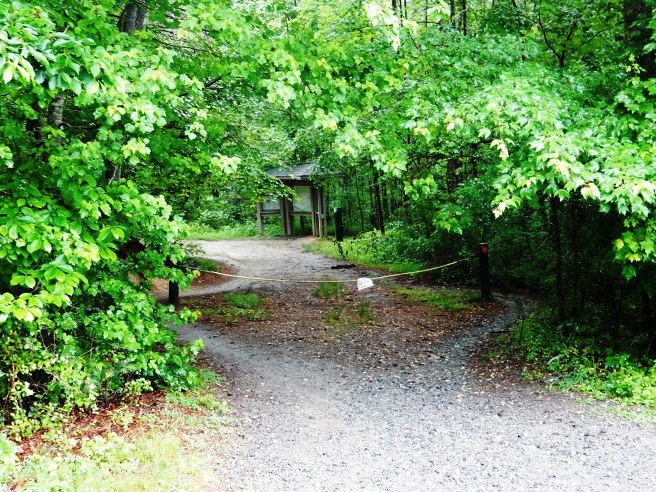
They started at the Lake Imaging TH shown below. It was raining at the beginning of the ride, but cleared up in about an hour.
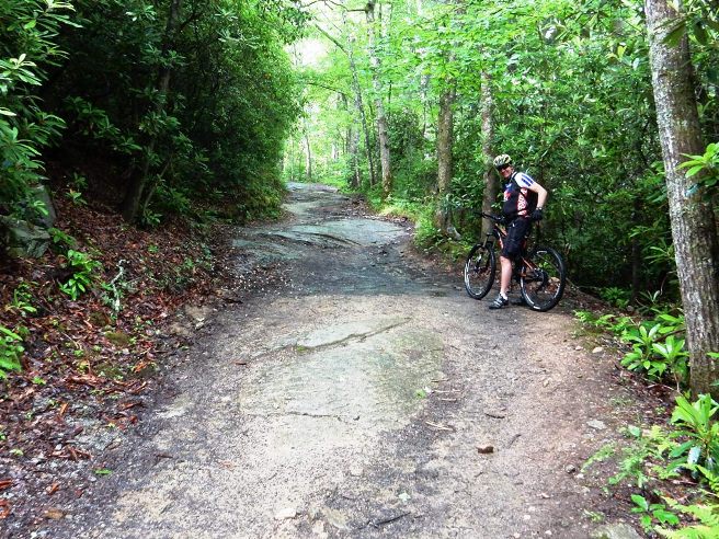
Not far in, they encountered some eastern Slickrock. Most folks think of the western states when you mention slickrock, but DuPont has its fair share.
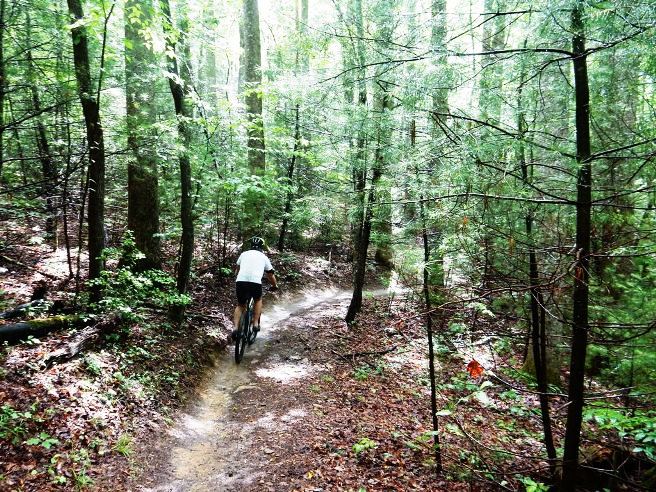
Below is a photo of Pat along the Hilltop trail.
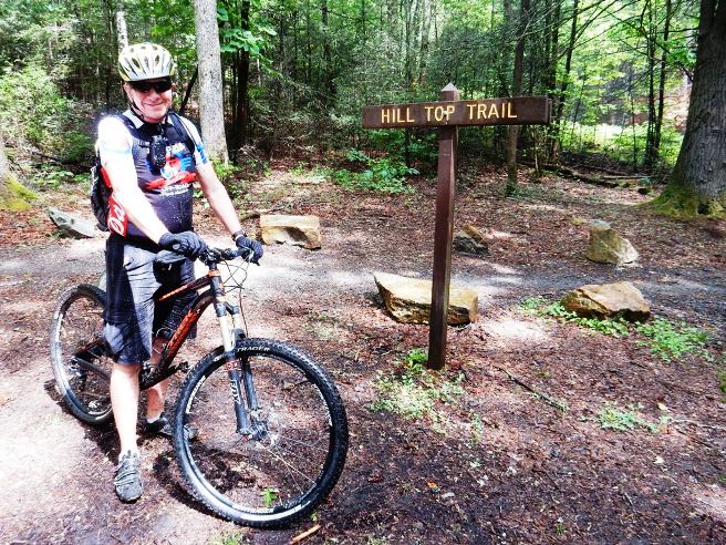
Bruce at the junction of the Hilltop Trail where it comes back out into Lake Imaging Rd. The junctions were very well marked at DuPont.
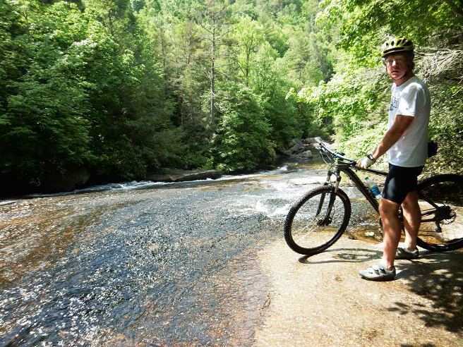
Pat at Grassy Creek Falls below.
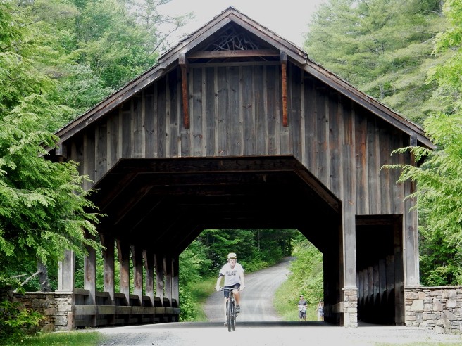
Pat at the covered bridge on Buck Forest Rd. near Conservation Rd.
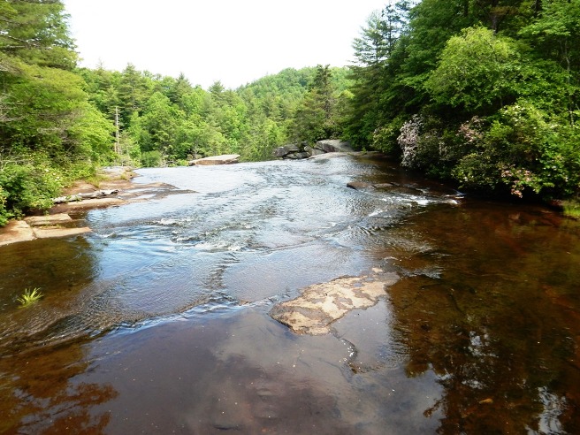
The top of High Falls as seen from the bridge.
Pat descending the High Falls Trail. There is a lot of non-technical ups and downs on this trail system.
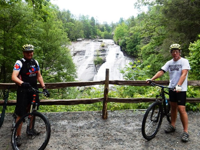
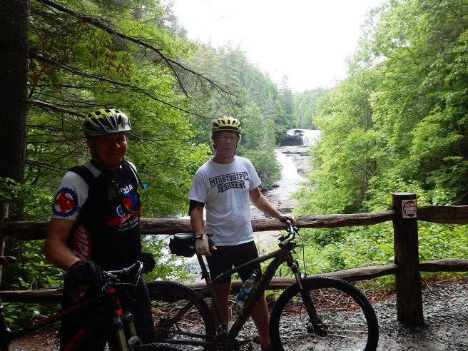
Bruce and Pat on the trail at the observation point for High Falls.
Bruce and Pat at the Triple Falls observation point.
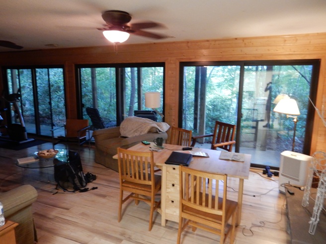
This was a great trip and they pledged to do this every time they were out that way. Bruce ended up on a project for NASA and it wasn't until 2019 he could get extra time off to ride DuPont. However, this time, Pat suggested they get a BnB, and was that a great decision. Below is a view from the main room. Both bedrooms also had sliding door overlooking the forest.
Du Pont SRF is an IMBA EPIC and the link to the MTB site can be found here.
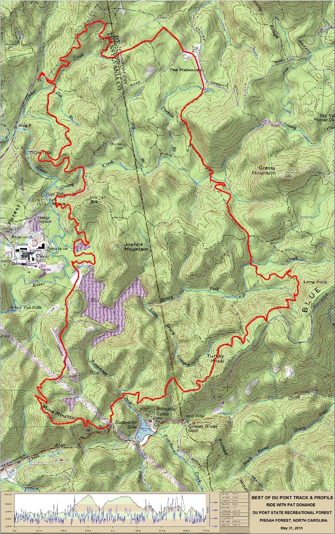
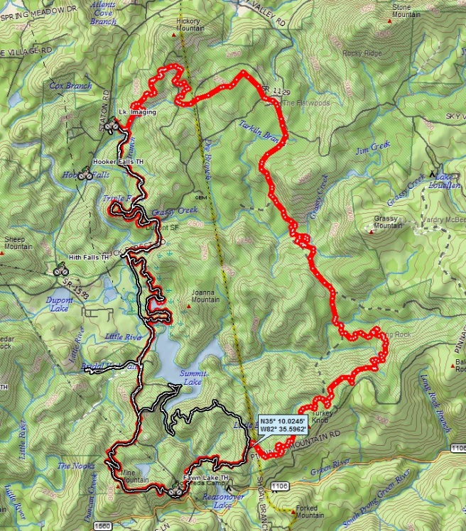
The statistics for the Du Pont State Forest ride are provided below
along with a map showing the track and profile and statistics. The
track and profile is for the counter-clockwise direction. Reverse it for a
clockwise ride.
Right click on the GPX link above to download a GPX file for this ride. The GPX file may want to save as an XML file, so if it does, change the extension to gpx before you save it. The file is a high-resolution track with points are every 10' created on the Delorme PN-60W GPS. You can right-click on the image below and use the "Save Target As" option to down-load a 1MB 11x17" PDF version of the map that can be printed. You can also click on the image to open it in a new window and zoom up to 200% for a detailed view.
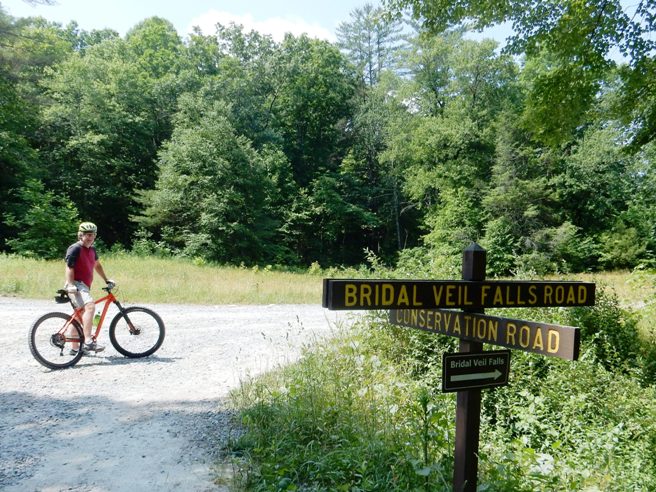
They had planned to ride the same route, but took a wrong turn and ended up going a different route. The point at which they made the wrong turn is shown with the coordinates map note. Pat at the cut-off to Bridal Veil Falls.
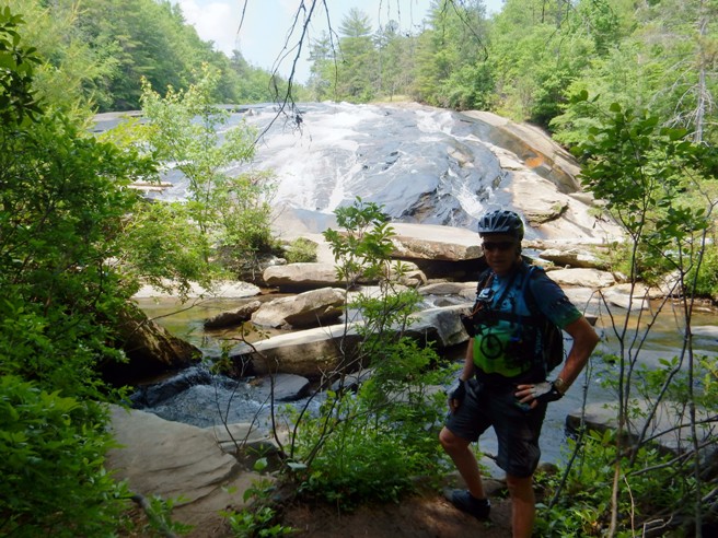
Bruce at Bridal Veil Falls.
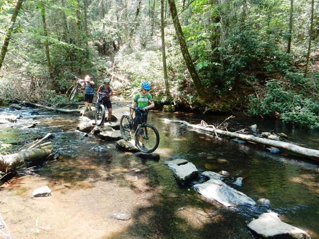
Local gals crossing Reasonover Creek.
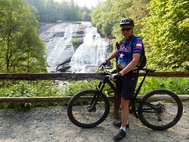
Bruce at High Falls.
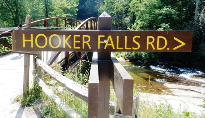
Cutoff to Hooker Falls.
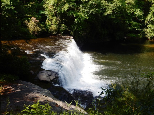
Hooker Falls
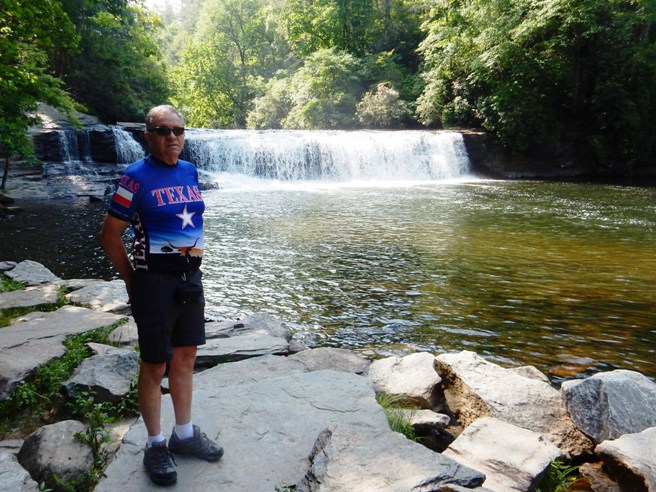
Bruce at Hooker Falls.
Hooker Falls are not on the IMBA EPIC loop and were a side trip. Tanasi is an IMBA EPIC and the link to the MTB site can be found here. The purpose of this part is to collect information on the ride at Tanasi.
The statistics for the Tanasi ride are provided below along with a
map showing the track and profile and statistics. The track and
profile is for the clockwise direction. Reverse it for a
counter-clockwise ride.
Right click on the GPX link above to download a GPX file for this ride. The GPX file may want to save as an XML file, so if it does, change the extension to gpx before you save it. The file is a high-resolution track with points are every 10' created on the Delorme PN-60W GPS. You can right-click on the image below and use the "Save Target As" option to down-load a 1MB 11x17" PDF version of the map that can be printed. You can also click on the image to open it in a new window and zoom up to 200% for a detailed view. (Insert Track-Profile map with link to tabloid-sized PDF) This is the kind of trail on which you will use all your gears, and spend a lot of time in 1-1. The grades are not impossibly steep, but go on for some distance, making it necessary to slow down to a sustainable climbing pace. The photo below shows (description). (Place-holder for photo) Description of following photo. (Place-holder for photo) Wrap up Bent Cr. is an IMBA EPIC and the link to the MTB site can be found here. The purpose of this part is to collect information on the ride at Bent Cr.
The statistics for the Bent Cr. ride are provided below along with a
map showing the track and profile and statistics. The track and
profile is for the clockwise direction. Reverse it for a
counter-clockwise ride.
Right click on the GPX link above to download a GPX file for this ride. The GPX file may want to save as an XML file, so if it does, change the extension to gpx before you save it. The file is a high-resolution track with points are every 10' created on the Delorme PN-60W GPS. You can right-click on the image below and use the "Save Target As" option to down-load a 1MB 11x17" PDF version of the map that can be printed. You can also click on the image to open it in a new window and zoom up to 200% for a detailed view. (Insert Track-Profile map with link to tabloid-sized PDF) This is the kind of trail on which you will use all your gears, and spend a lot of time in 1-1. The grades are not impossibly steep, but go on for some distance, making it necessary to slow down to a sustainable climbing pace. The photo below shows (description). (Place-holder for photo) Description of following photo. (Place-holder for photo) Wrap up
|
|
Version 0.1, October 27, 2015 |
 Insert Track-Profile map with link to tabloid-sized PDF)